Aravalli Panel Rejects Single Yardstick, Seeks Time for Ecosystem-Based Study
SC panel says Aravalli hills need ecosystem-based definition, not single terrain test; seeks six-month extension.
A Supreme Court-appointed High-Powered Committee (HPC) has cautioned against defining the Aravalli hills using a single terrain-based criterion, arguing that such an approach would be scientifically unsound. In a compliance report submitted to the top court on August 31, the panel proposed an alternative framework that treats the Aravallis as an interconnected ecological system.
The committee has sought a six-month extension, until February 28, 2027, to complete its assessment. It maintains that numerical estimates with significant regulatory and socio-economic consequences should only be released after datasets and methodologies are independently validated.
The HPC's formation followed controversy over an October 2025 report that recommended a 100-metre height threshold for defining Aravalli hills. That report had ignored warnings from the Forest Survey of India (FSI) that such a criterion would exclude nearly 90 per cent of the hills. The Supreme Court had put that report on hold in December 2025, leading to the constitution of the HPC in May 2026.
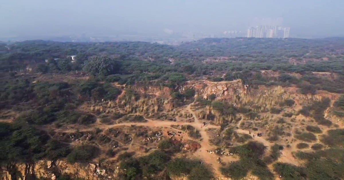
The committee's proposed "Aravalli Ecosystem Landscape" framework would integrate core hill systems with forests, protected areas, sacred groves, wetlands, groundwater-recharge zones, and archaeological sites. It would also examine ecological links with the adjoining Vindhyan hill systems.
A rapid field assessment conducted in August found that much of the Aravalli range functions as a connected landscape with interlinked ecological and hydrological values. The HPC has received around 680 representations from farmers, pastoralists, local communities, and mining stakeholders, raising concerns about quarrying, sand mining, and their impact on water systems and public health.
The panel is comparing the October 2025 methodology with an earlier FSI approach developed in 2010, testing both in Alwar, Ajmer, and Udaipur districts. It plans to extend this exercise across the entire landscape using digital elevation models, with results to be scrutinised by institutions such as the National Remote Sensing Centre and ISRO.