China says it mapped seabed east of Taiwan for 'one map' plan
China's natural resources ministry surveyed seabed east of Taiwan in August, citing territorial planning; coast guard also patrolled the area.
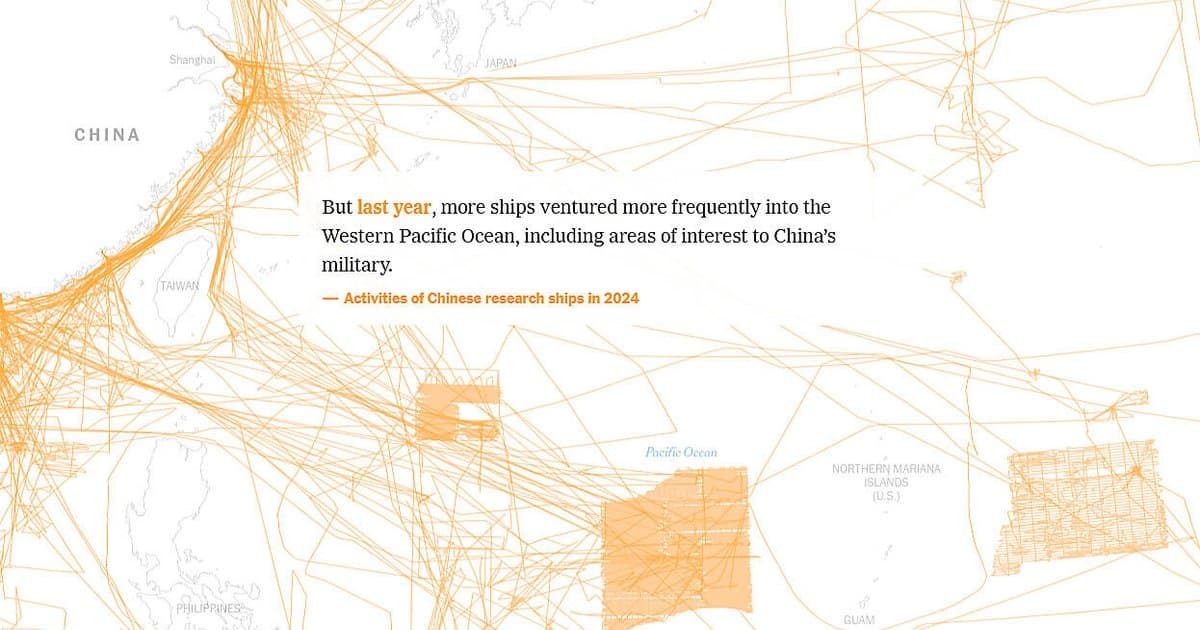
China's Ministry of Natural Resources has disclosed that it carried out a survey of waters east of Taiwan last month, a mission it says will support the creation of a unified map for territorial planning and resource management. State broadcaster CCTV reported the development on Thursday.
The survey ran from August 10 to 31 and was aimed at studying the basic geology and structural features of the seabed within what Beijing describes as its jurisdictional sea areas.
The announcement comes weeks after Taiwan's coast guard said it had warned off and shadowed a Chinese research vessel in sensitive waters near the island on August 21. That was the third time the ship had appeared in the area since May, an activity Taipei views as ongoing maritime provocation.
Separately, China's coast guard said it conducted routine law-enforcement patrols in the waters east of Taiwan on Thursday, marking the third such patrol since June.
Taiwan's government had not immediately responded to either the CCTV report or the coast guard announcement.
China regards democratically governed Taiwan as part of its own territory and does not recognise any sovereignty claims by Taipei, including over the waters surrounding the island. Taiwan rejects those claims.