India Backs UN Map Resolution, Warns Against Inaccurate Depiction of J&K, Ladakh
India voted for a UN resolution on equal-area maps but stressed that J&K and Ladakh must be shown as per its official map.
India has voiced support for a United Nations General Assembly resolution aimed at promoting more accurate world maps, but made it clear that any depiction of its territory must align with its official cartography.
The resolution, titled 'Correct the Map: Rebalancing Global Cartographic Representation and Promoting Equitable Representation of the World's Regions, Particularly Africa', was adopted on September 4. It seeks to encourage the use of equal-area map projections that preserve the relative sizes of continents.
The measure, sponsored by Togo, received 164 votes in favour, with six abstentions and one vote against.
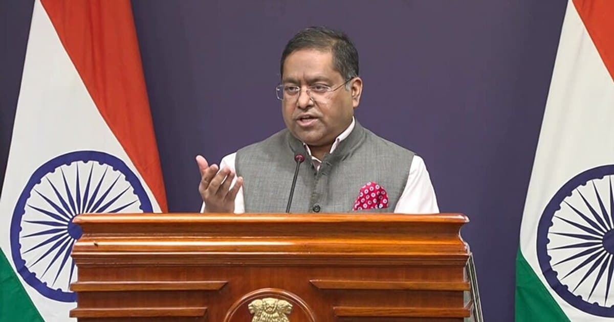
India voted in favour but used the occasion to reiterate its firm position on its territorial integrity. Ministry of External Affairs spokesperson Randhir Jaiswal said India stressed that the resolution does not endorse any specific map or projection, nor does it address political boundaries or disputed territories.
"India's sovereign territory, including the Union Territories of Jammu and Kashmir and Ladakh, must be depicted in accordance with India's official map. Any inaccurate or misleading depiction is unacceptable," Jaiswal said.
He added that India's position on its sovereignty and territorial integrity is "clear, consistent and non-negotiable."
The resolution is intended to correct the common distortion that makes landmasses near the equator appear smaller than they are, particularly Africa. India's explanation of vote underscored the principle of equal-area representation while ensuring that its own territorial claims remain unambiguous.