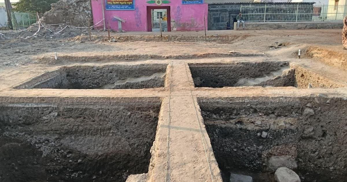
Lakkundi's buried heritage to be mapped with LiDAR and radar scans
A new MoU will use LiDAR, GIS, remote sensing and ground-penetrating radar to locate Lakkundi's concealed monuments.
The ancient temple town of Lakkundi in Karnataka is set to undergo a high-tech archaeological survey aimed at uncovering monuments that have remained hidden beneath dense vegetation for years.
A memorandum of understanding signed on August 27 paves the way for deploying a suite of advanced technologies, including LiDAR surveys, GIS mapping, remote sensing, and ground-penetrating radar (GPR). These tools will help researchers identify structures that are not visible from the surface, offering a non-invasive way to map the region's buried heritage.
LiDAR, which uses laser pulses to create detailed 3D terrain models, is particularly effective at penetrating tree cover to reveal ground-level features. GPR, on the other hand, sends radar waves into the soil to detect subsurface anomalies, making it ideal for locating foundations, walls, and other remnants of past construction.
The initiative is expected to significantly expand the known archaeological footprint of Lakkundi, a site already celebrated for its ornate temples and step wells dating back to the Kalyani Chalukya period. By combining these technologies, authorities hope to produce a comprehensive map of both visible and concealed structures, aiding future conservation and research efforts.