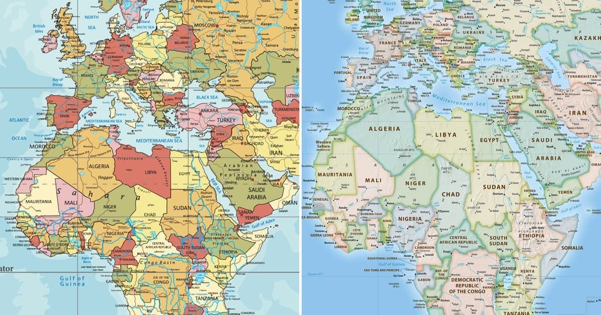
UN Endorses New World Map That Shows Africa's True Size
The UN General Assembly has endorsed a new world map that accurately represents Africa's size, replacing the traditional Mercator projection.
The United Nations General Assembly has voted to endorse a new world map that more accurately depicts the size of Africa, following a campaign led by African nations and advocacy groups. The resolution, sponsored by Togo and supported by the African Union, was adopted with 164 votes in favor. The United States was the sole dissenting vote, while Serbia, Estonia, Georgia, Lithuania, Moldova, and Ukraine abstained.
The resolution encourages governments and institutions to adopt the Equal Earth projection, a map that shows continents in their true proportions. The traditional Mercator map, designed in the 16th century for European navigators, distorts landmasses by enlarging regions near the poles, making Greenland appear comparable in size to Africa. In reality, Africa is 14 times larger than Greenland.
The UN clarified that the resolution does not ban the Mercator projection but merely encourages the use of the Equal Earth projection. Togo's Foreign Minister Robert Dussey emphasized the importance of maps, stating, "Maps shape our understanding of the world. They guide education, nourish the imagination, and influence collective perceptions."
Advocacy group Africa No Filter welcomed the resolution, expressing a desire for accurate maps in schools, textbooks, newsrooms, and digital platforms. French Foreign Minister Jean-Noël Barrot remarked that while changing the map does not change the world, correcting a distorted representation is an act of truth.
The Equal Earth projection, created in 2018, follows the Earth's curvature and displays continents accurately. Geographers note that the Mercator map is only useful for navigation, with Syracuse University professor Mark Monmonier stating, "Outside of that very narrow navigation application, there is no point in using it."