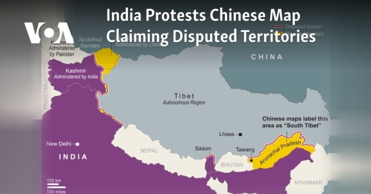
UN world map shows Arunachal, Aksai Chin between Indian and Chinese claim lines
A new UN world map depicts Arunachal Pradesh and Aksai Chin between separate Indian and Chinese claim lines, drawing India's attention.
A world map issued by the United Nations has depicted Arunachal Pradesh and Aksai Chin as territories lying between distinct Indian and Chinese claim lines, a development that has drawn scrutiny from New Delhi.
The map, published on July 1, 2026, comes just days after India voted in favour of the 'Correct the Map' resolution at the UN on September 4. While the resolution is non-binding, such cartographic products are widely used by multilateral institutions.
According to the map's depiction, Arunachal Pradesh's southern boundary with Assam is marked as the 'Chinese Line', while its northern border with China's Tibet region is shown as the 'Indian Line'. The state's border with Nagaland is not shown. In the case of Aksai Chin, which India claims as part of Ladakh, the eastern borders are marked as the 'Indian Line', with a separate 'Chinese line' appearing to demarcate the boundary between Ladakh and Aksai Chin.
The map also shows Jammu and Kashmir with a dotted line representing the Line of Control (LoC) between India and Pakistan. A note on the map clarifies that this dotted line is approximate and that the final status of Jammu and Kashmir has not been agreed upon by the parties. No similar explanation is provided for the separate claim lines shown for Arunachal Pradesh and Aksai Chin.
The Ministry of External Affairs (MEA) has reiterated India's support for the resolution, explaining that the vote was on the principle of promoting equal-area cartographic representation. The MEA has stressed that the resolution does not endorse any specific map or depiction of national boundaries. Official Spokesperson Randhir Jaiswal stated that India's sovereign territory, including the Union Territories of Jammu and Kashmir and Ladakh, must be depicted in accordance with India's official map, and that any inaccurate depiction is unacceptable.
The MEA has not yet responded to queries on the specific demarcation of Arunachal Pradesh and Aksai Chin. India's official position maintains that both territories are integral parts of the country.
On a related matter, the map appears to reflect India's control over the Kalapani-Lipulekh-Limpiyadhura region, which is also claimed by Nepal. Nepal had earlier protested against India's 2019 political map but has not yet commented on this UN map.